Skip to main content
Mograt Island | Archaeological mission
Toggle navigation
English
العربية
Main navigation
About Mograt Island
Visual History
Our projects
How we work
Publications
Listed by field season
Listed by author
Listed by research subject
Home
How we work
How we work
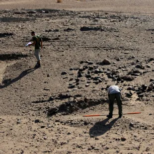
Surveying
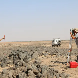
Mapping
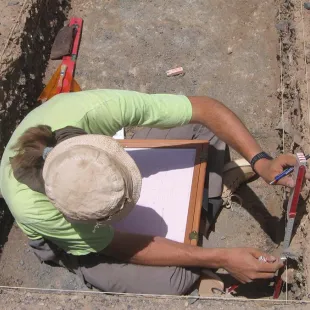
Excavating
Stone Tool Analysis
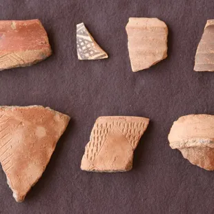
Pottery Analysis
Doing Community Archaeology